Searches online
Perform searches online using our map based search facility.
Use our on Online Search to search for land charges on land and premises in our district.
If you are a Land Charges Search Agent you should no longer need to access the ‘Your Area’ part of the website. All the layers you need can now be accessed from the above link. The only exceptions to this is the Planning and Building Control information, which can be viewed on our Public Access pages.
Before you proceed you may want to consider reading through these brief operating instructions. This will explain the simplest ways to navigate through the programme to extract the information required.
Finding your property
The best option is to go to the ‘Address Search’ field at the top right-hand corner of the map and enter the full address, for example, ‘111 Smith Street’. If our system is unable to find the address, try entering postcodes, streets or possibly an adjoining property. Click on the result to zoom in on it.
The property in question will always be identified by a red dot.
Load the relevant Land Charge layers. These can be found on the left under the Land Charges menu. Please manually click one at a time – if anything is found the coloured layer will appear. This can then be interrogated for the information you require by clicking anywhere within the area.
About the Map
The map will load at a default scale showing the full extent of South Somerset District.
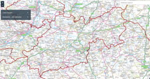
On the left of the screen, you can expand the ‘Land Charges’ menu to select the layers you are interested in.
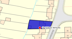
The map below shows an address where there is a building over a sewer agreement, coloured blue. In this example, click anywhere in the blue area to retrieve more information.
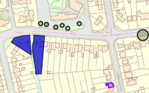
It is possible to load several layers at a time as illustrated below, which displays layers for Building over sewer, Tree Preservation Orders, and Grants.
Property history
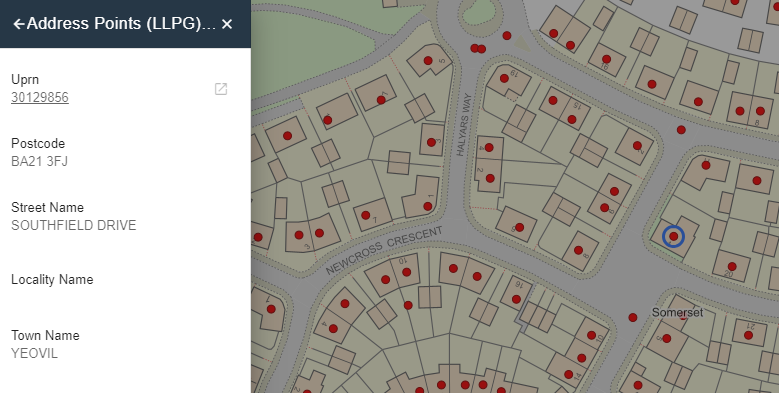
If you are interested in the property history, click on the dot that indicates the property. Then click on the Address Points ( LLPG ) – Public layer.
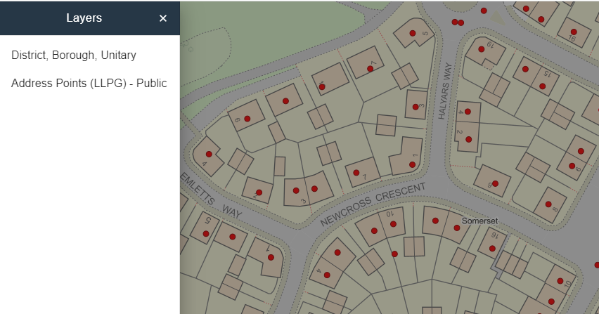
This displays the details on the address then click on the link for the UPRN which will bring up the property history details.
Whilst every effort has been made to make sure the information on our Land Search facility is correct, you are advised to contact the land charges department for definitive information if you have any queries. The boundaries of our base maps are constantly changing, and we cannot guarantee that our land charges will always follow the exact boundaries intended.
